Hour-by-hour forecast as 'risk to life' Storm Bronagh hits Derbyshire


Storm Bronagh is set to hit the county at 6pm today, and there will be gales and rain until tomorrow at 9am.
A yellow weather warning for rain and wind has been issued for the storm which could have gusts of up to 65mph.
Some areas in the UK could see 80-100 mm of rain.
Advertisement
Hide AdAdvertisement
Hide Ad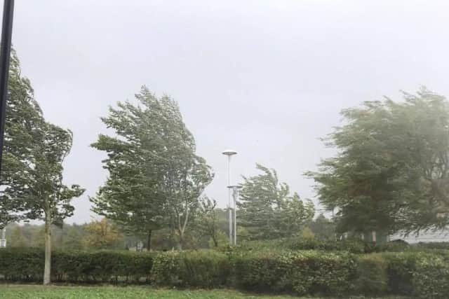
The Met Office has reported that there could be some damage to buildings, such as tiles blown from roofs or through falling trees and branches.
A spokesman has also said that there could be injuries and danger to life from flying debris.
Road, rail, air and ferry services may be also affected, with longer journey times and cancellations are possible.
Some roads and bridges may close.
This Evening and Tonight:
Windy, with periods of rain overnight. A spell of heavier rain and strong blustery winds then likely for a few hours either side of midnight, before clearing to showers, but still windy conditions by dawn. Minimum temperature 9 °C.
Friday:
Advertisement
Hide AdA blustery day, with occasional showers and strong westerly winds. Some sunny spells are likely between the showers, however it will be feeling rather cool. Maximum temperature 15 °C.
Thursday, September 20
6pm - heavy rain - 15C - wind 24mph
7pm - showers - 16C - wind 33mph
8pm - heavy rain - 17C - wind 37mph
9pm - heavy rain - 17C - wind 34mph
10pm - heavy rain - 17C - wind 35mph
11pm - heavy rain - 16C - wind 36mph
12pm - hail - 16C - wind 35mph
Friday, September 21
1am - heavy showers - 16C - wind 36mph
2am - heavy showers - 15C - wind 40mph
3am - heavy showers - 13C - wind 41mph
4am - heavy showers - 11C - wind 44mph
5am - heavy showers - 10C - wind 42mph
6am - light showers - 9C - wind 45mph
7am - light showers - 9C - wind 39mph